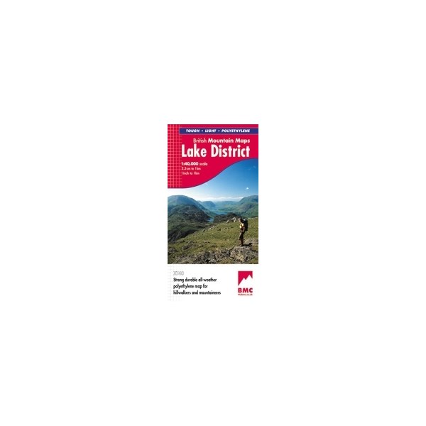
Harvey Lake District XT40
Mixed
Harvey Lake District XT40
Harvey Lake District - Easy to use water proof map, includes all the details you need for sure navigation and safety. It indicates rights of way, car parking, use of land and landscape details including impassable woods, cliffs, rocky ground and marsh. The map comes in a clear plastic pocket.
"The best Lake District map I have ever seen. The 1:40,000 scale provides clear, detailed information to one of the most popular hill walking areas in Britain." Sir Chris Bonington
Price in GBP
£18.00
- We currently have 8 in stock.
- Features
- Reviews
- Product Care
The Lake District's famous mountains and fells on a single map
Printed on polyethylene - durable, tear-resistent and 100% waterproof
Made in cooperation with the British Mountaineering Council
Colour shading for easy identification of hills and valleys
Detailed crag information for climbers
Less than half the weight of a laminated map
Detailed 1:20,000 enlargements of Scafell and Pillar
Geological map of the Lake District supplied by the British Geological Survey
Mountain incident and first aid advice
Tips on using your map and compass
Current edition published 2013


